
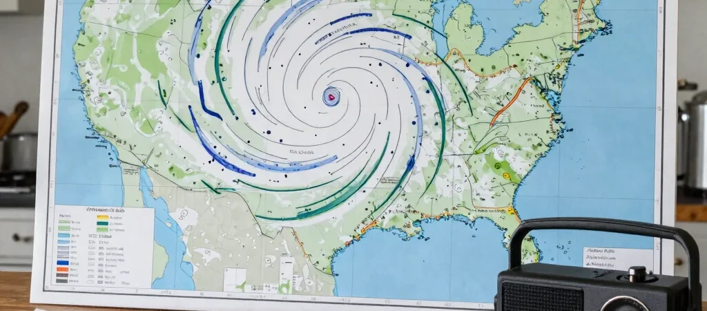
When a tropical cyclone approaches, the forecast cone is often the map people see first. It represents the probable path of the storm’s center, based on forecast uncertainty; it does not mark the storm’s full size or the limits of dangerous conditions. A location outside the cone may still face serious hazards.
What the cone represents
The cone widens farther into the forecast because the storm’s track becomes less certain over time. It is a way to communicate the possible path of the center, not a boundary line that separates danger from safety.
Wind, flooding rain, storm surge and tornadoes can extend well beyond that path. Their likely locations and severity vary, so hazard-specific forecasts provide information the cone cannot.
Read the hazard forecasts
For a coastal community, storm-surge warnings and local evacuation instructions can be more relevant than the projected center line. Inland, rainfall forecasts and flood alerts may matter more, especially near rivers or areas that flood quickly.
Forecasts change as new observations and model guidance arrive. Check the time on the map and return to official updates, including alerts from local emergency management. An older image shared online may no longer reflect the current forecast.
Turn updates into decisions
A forecast is not an instruction to wait until the center is near. Know which local alerts apply to your address, follow evacuation orders when issued, and account for the time needed to travel or prepare.
The practical takeaway is simple: use the cone to understand track uncertainty, then use local alerts and hazard maps to assess the risks where you are. The center line is one piece of the forecast, not a measure of safety.